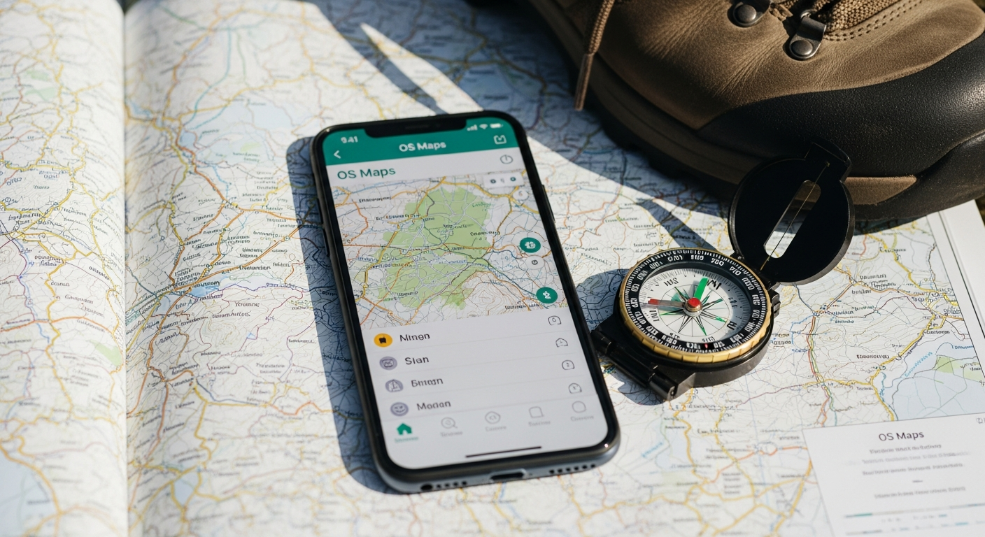
Discover how the OS Maps App Premium Subscription delivers offline mapping, route planning, and AR features for £28/year. Perfect for hikers, cyclists, and outdoor explorers across Great Britain.
Nearly 40% of outdoor enthusiasts admit they've gotten lost during a hike, yet most still rely on paper maps that are bulky and outdated. The weight, the wear and tear, the constant need to refold them—traditional navigation methods feel increasingly antiquated when your smartphone already holds countless apps. The OS Maps App Premium Subscription represents a fundamental shift in how people navigate Britain's landscapes, moving from pocket-sized paper to pocket-sized digital precision.
Ordnance Survey has been the trusted authority behind Britain's most detailed mapping for over two centuries. Their reputation for accuracy is unmatched, and they've now digitized their entire collection into a subscription service costing just £28 annually. This transition hasn't compromised their standards; instead, it's expanded accessibility and added functionality that paper simply cannot deliver.
Unlimited Digital Map Access Across All 607 British Explorer & Landranger Maps
The premium subscription grants complete coverage of every OS Explorer map at 1:25,000 scale across Great Britain. That's 607 detailed sheets covering everything from peak districts to coastal paths, all accessible from a single device. Alongside these Explorer maps, you'll access all OS Landranger maps at 1:50,000 scale for broader regional navigation when you need a wider perspective.
Seamless Map Scale Switching
Rather than being locked into one viewing level, the app lets you shift between scales depending on your navigation needs. Planning a long-distance walk? Zoom out to the Landranger view for route overview. Navigating dense terrain or looking for specific features? Zoom into Explorer detail. This flexibility eliminates the frustration of juggling multiple paper sheets.
Offline Downloading—Navigation Without Mobile Signal or WiFi
One of the subscription's most practical features is the ability to download entire map regions directly to your device. This matters enormously in Britain's wild spaces—moorlands, mountains, and remote valleys frequently lack mobile coverage. Rather than hoping for a signal, you simply download your chosen area before departure.
Pre-Download Strategy for Remote Locations
Users typically download maps before heading into national parks or wilderness areas. The process is straightforward: select your region, initiate the download, and wait a few minutes for the data to transfer. Once downloaded, those maps remain accessible indefinitely without requiring an active internet connection. If your battery dies, the maps stay on your device. If you wander into a signal dead zone, navigation continues uninterrupted.
Advanced Route Planning and Community Discovery Features
Creating custom routes involves the app's snap-to-path feature, which automatically aligns your traced route to actual paths and trails. This proves particularly effective within national parks where the path network is dense and well-mapped. Rather than drawing freehand lines, the feature snaps your input to recognized routes, reducing navigation errors during route planning.
Community Route Sharing and Discovery
Beyond personal route creation, thousands of users share their discoveries through the app's community. Hikers post routes they've completed, cyclists map out scenic rides, and explorers document hidden trails. This crowdsourced approach means you're not planning routes in isolation—you're tapping into collective knowledge from people who've already walked the ground. Following user-shared routes adds an element of discovery and provides confidence that your chosen path has been tested by others.
Augmented Reality and Grid Reference Tools for Enhanced Navigation
The augmented reality feature in the premium version transforms smartphone navigation into something genuinely innovative. Point your phone at the horizon, and AR overlays landscape feature names directly onto your view—identifying peaks, valleys, water features, and landmarks in real time. This bridges the gap between map reading and terrain recognition, making it easier to confirm your location and orient yourself.
Precision Navigation Through OS Grid References
Grid references provide exact positioning that's invaluable for marking waypoints, recording emergency locations, or identifying points of interest. Rather than describing "that hill over there," you can pinpoint exact coordinates. This precision proves especially useful when communicating locations to others or recording findings for future reference.
Annual Cost Breakdown—Is £28/Year Genuine Value for Money?
The subscription costs approximately £28 annually, which deserves examination against alternative options. A single physical OS Explorer map typically costs £10-15. Since the subscription provides access to all 607 sheets, the per-map value becomes negligible—less than 5 pence per map. Even if you only navigate five different regions annually, the subscription pays for itself multiple times over.
Calculating True Cost Savings
Consider what carrying equivalent paper maps would demand. A walker covering diverse terrain might need six to ten different sheets. That's £60-150 in physical maps, plus the weight burden. The subscription eliminates both the cost and the bulk while adding features—offline access, route planning, AR—that paper cannot match. Over a multi-year period, the savings accumulate substantially.
Taking Your Navigation to the Next Level
The OS Maps App Premium Subscription bridges a genuine gap between reliability and convenience for modern outdoor exploration. For £28 annually, you're gaining access to Britain's most trusted mapping source in a format that works in the field—offline, fast, and packed with features that transform how you explore. This isn't a replacement for traditional navigation skills; it shines brightest when treated as part of a broader navigation strategy. If you're regularly exploring British landscapes or tired of juggling paper maps, the premium subscription delivers exceptional value. Start by downloading a map of your local area and exploring the route-sharing community to discover why this subscription has become indispensable for thousands of British adventurers.
Get started with the OS Maps App Premium Subscription and navigate Britain with confidence.